A Map Table for a Rainy Afternoon
A map-reading activity for a rainy afternoon helps you connect neighbouring places, compare regional maps and leave with clear questions to investigate later.
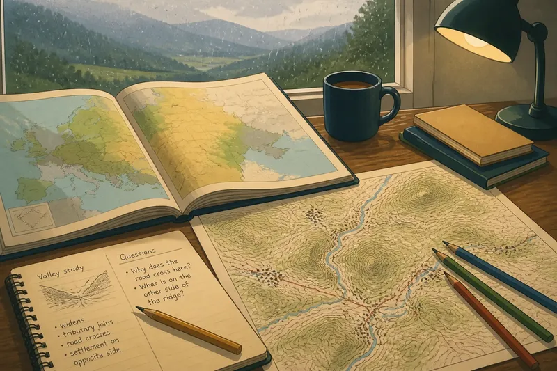
A map-reading activity for a rainy afternoon can start with one region and two maps that show it differently. Place an atlas beside a topographic map, open a notebook, and look for how valleys, ridges, settlements and routes connect neighbouring places. You do not need to settle every interpretation; the useful work is recording what you can see and what you still want to check.
Choose a focus before you begin. You might compare map scales, follow one valley through the region, or examine how a pair of nearby places relate to the same landscape. A small focus keeps the afternoon from turning into aimless browsing.
Compare map scales to see the region take shape
Begin with a broad map showing the region and its neighbours, then open a more detailed map of one part. The broad view can reveal the arrangement of uplands, lowlands, coast, valleys or plains. The closer view may show smaller ridges, streams, settlements and routes.
An atlas with regional and local maps is handy; otherwise, pair a road map with a topographic map. Keep both visible. Differences in what each map emphasises are useful: a simplified regional view can make a feature easier to locate, while the detailed map shows how varied the ground is around it.
Choose a feature to follow, such as a valley opening towards a plain or a river passing between two settlements. Mark a few points along its course rather than trying to draw a definitive edge. Add notes about what changes at each point: the valley may widen, a stream may join, or the nearby settlements may shift from one side of the route to another.
Use the regional map to ask where the feature sits in the wider area, then the detailed map to see what is beside it. A road or settlement helps you locate the place, but it does not explain the shape of the land.
Follow a valley as it links neighbouring places
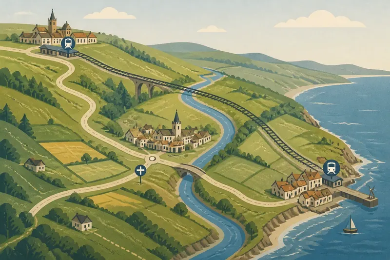
A valley makes a rewarding subject because it is both a landform and a corridor. It can connect settlements, carry a river or stream, and offer a natural route through higher ground. Trace a short stretch on a topographic map and note how the valley relates to ridges, tributaries and nearby roads.
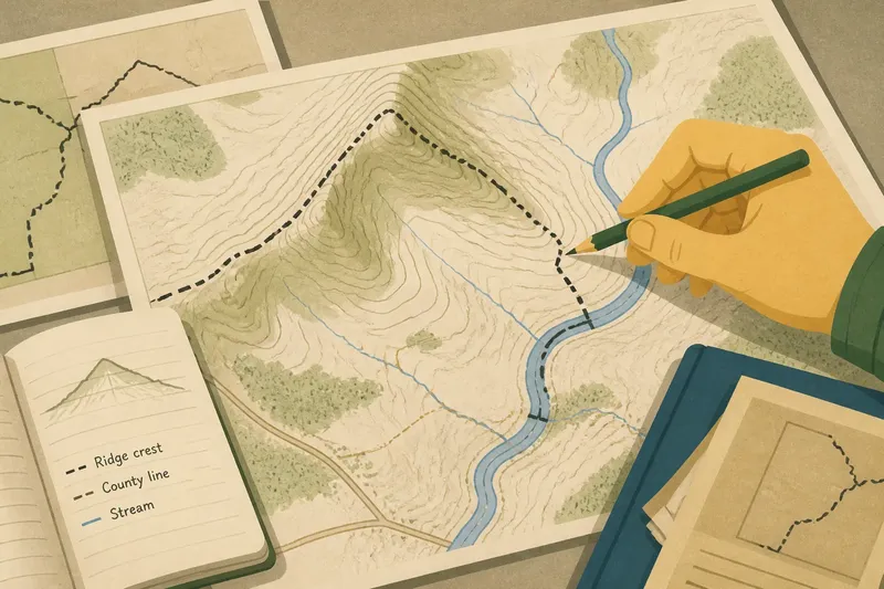
Contour lines can help you recognise the valley’s shape: lines bend around higher ground and often form a distinctive pattern where a stream runs. A shaded-relief or physical map can make the larger forms easier to recognise. Check the legend before interpreting symbols, especially if the map uses colours or line styles you do not know.
Say you choose a valley that runs between two named places. On the regional map, mark both places and the valley’s broad direction. On the topographic map, trace the stream and note where a tributary joins, then compare that junction with a road crossing. Your resulting note might read: “The road and stream meet near the tributary, while the settlements sit farther apart along the valley.” That describes a connection without assuming that the road follows the river or that the land dictated the route.
Keep observations and interpretations distinct. “The stream bends east below the ridge” records something visible; “the ridge forced the road east” is an explanation that would need further checking.
Compare two places without turning the map into a route plan
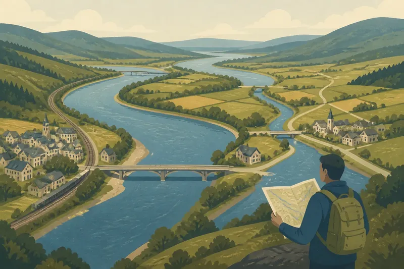
Start with a pair of neighbouring places that interest you: perhaps two villages, or a town and a named area nearby. Look at the land between them before tracing how to travel from one to the other. They might share a valley, sit on opposite sides of a ridge, or occupy different parts of a coastal plain.
On paper, place a note beside each name and draw a loose bracket around the intervening landscape. On a digital map, keep a notebook open and write down what the map shows rather than relying on saved pins. A river or road can help orient you, but your main question is how the wider landform relates to both places.
Imagine you have an atlas and a local topographic map, and choose two neighbouring villages shown on both. The atlas places them along the same valley; the detailed map shows a ridge between the villages and a stream running along the valley floor. Mark the ridge, stream and each village, then compare their positions. Your answer is that the villages share a broad valley setting but do not sit on the same side of the ridge. The trade-off is clear: the regional map makes their shared setting easy to see, while the detailed map reveals a division that the broad view smooths over.
Write down the map name and a location cue beside each observation, such as “east of the river bend”. You will be able to return to the same patch without covering printed details with heavy marks.
Choose the approach that fits your afternoon
Comparing scales suits you if you want a broad picture followed by a closer look. Following a valley is a good choice if you enjoy tracing how a landform connects places. Starting with two neighbouring places works well if you already have a pair in mind.
Set out one main map, a second map if it adds a different view, a notebook and a pencil. Coloured pencils can separate features you are tracing from notes about settlements or routes. Keep the legend visible and use light marks that do not hide names or contour lines.
- If the regional map makes a valley easy to locate but hides its smaller bends, then use it for context and switch to the topographic map for those details; if it does not show the valley clearly, choose a different regional map or feature.
- If contour lines form a pattern that helps you recognise a ridge or valley, then note the pattern and trace the feature; if the lines are unfamiliar, check the legend before marking anything.
- If a stream appears on both maps, then compare its course with nearby settlements and routes; if it appears on only one, record the difference and avoid assuming the maps cover the same detail.
- If a road crosses the valley near a settlement, then mark the crossing as a location clue; if it follows a different direction, keep the road and valley as separate observations.
- If the two places share a valley or plain, then note the shared landscape and how each place sits within it; if a ridge or river divides them, record that feature rather than describing them as alike.
- If a map symbol or colour is unclear, then consult the legend or a second map; if it remains unclear, leave it out of your interpretation and write a question beside it.
Questions to take back to the map?
How can I recognise a valley on a topographic map?
Look at how contour lines bend around higher ground and compare their pattern with any stream shown. If the pattern is hard to interpret, check the legend and compare it with a physical or shaded-relief map.
Which map should I use to understand a shared landscape?
A regional atlas helps show where neighbouring places sit in relation to broad landforms. A topographic map adds detail about slopes, streams and smaller features, so using both can clarify what the regional view simplifies.
How can I compare two neighbouring places?
Mark both places, then note the landforms between and around them, such as a valley, ridge, river or plain. Keep transport routes as separate observations until you have a reason to connect them to the terrain.
What should I write down when a map is unclear?
Record what you can see, the map name and a location cue, then phrase the uncertain part as a question. Leave an unfamiliar symbol uninterpreted until you can check the legend or another map.
Leave three useful questions beside the map
Before clearing the table, write three questions tied to the marks you made. One might concern a landform, another how two places connect, and the third which map could clarify an uncertain detail.
- Where does the stream leave the valley shown on this map?
- Do the two settlements share the same valley floor, or does a ridge separate them?
- Which larger-scale map would show how this valley fits into the surrounding region?
Make each question specific enough to find again. Add a note such as “north of the market town” or “at the bend east of the ridge”, along with the map title. A map-reading activity for a rainy afternoon is most useful when those notes let you return to the same landscape and see how its features connect the places around it.