Why Rivers Make Useful Regional Reference Lines
Why rivers make useful regional reference lines: learn to read bends, bridges and tributaries without assuming the channel marks every boundary.
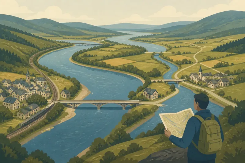
A river gives a region a visible line to follow, but its channel is not automatically the line that divides neighbouring places. For anyone trying to get oriented, rivers make useful regional reference lines because their bends, crossings and tributaries connect landmarks into a shape you can recognise. Read those clues alongside the map’s labels and boundary marks, and the water becomes a guide rather than a guess.
Follow the channel as a sequence of clues
A long river is easier to recognise in pieces than as one sweeping feature. Start with a distinctive bend, then look for the next bridge, a tributary junction or a town beside the bank. That sequence can anchor your position even when the map shows a large area at once.
Notice the direction the water takes, too. A river may curve around a hill, pass through a valley and turn towards a larger river. Those changes help distinguish it from a road or administrative line, which may cut across the terrain instead of following it.
On a paper map, trace the blue line with a fingertip and compare it with the contours, settlement names and road crossings. On a digital map, zoom out to see the river’s broad course, then zoom in to match a specific bend or junction. A single close-up can make a minor stream look like the main feature; a wider view puts it in context.
Keep one visible feature in view while shifting your attention to the next. That small habit makes it easier to recover your bearings if several valleys look alike.
Use bends and crossings as anchors
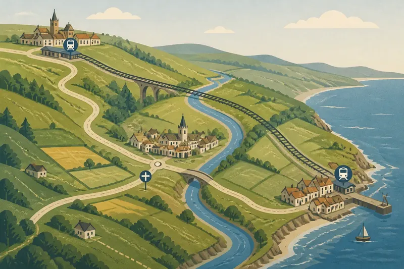
A sharp meander, a bridge or a confluence can act as a reliable anchor because it has a distinctive shape or relationship to nearby features. A bridge is especially useful where roads converge on a crossing: the road approaches, the water passes beneath, and the settlement may sit on one bank or both.
But not every crossing is easy to spot. A map may show a road bridge, a footbridge, a ford or a railway crossing with different symbols—or omit a small crossing at the scale you are using. Check the legend before treating a symbol as a road route, and compare it with nearby place names.
Confluences offer another strong clue. Where a tributary meets the main river, the channels form a visible fork. Follow each branch upstream and you can see how smaller valleys feed into a larger corridor. That pattern often explains why roads and settlements gather near a junction without implying that all those places belong to the same local authority.
Read each bank as part of a wider landscape
The two banks can look close on a map and still belong to distinct communities, districts or land uses. One side might carry a town centre and a railway station; the other might hold fields, a village or a wooded slope. A river connects those settings, but it does not make them identical.
Look for the crossings and approach routes that link the banks. A bridge may draw traffic towards a particular centre, while a sparse crossing network can leave nearby places facing in different directions for everyday journeys. The river is the shared landmark; the roads, paths and local labels show how people relate to it.
Imagine you are trying to locate two villages on opposite sides of a broad bend. The map shows a bridge upstream, a small tributary beside one village and a road running along the other bank. Match the bend first, then use the tributary and bridge to place each village; do not assume that the channel itself tells you which village belongs to which district.
A river can guide you without marking a boundary
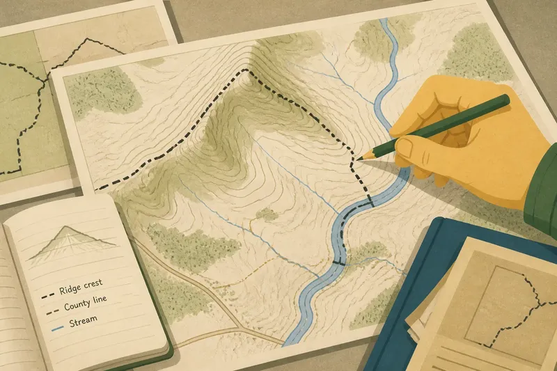
Some boundaries follow a river channel, while others run nearby, cross it or ignore it. A political or administrative line may be drawn along a bank, along the middle of the channel, or along a surveyed line that does not match the water’s visible course. Maps usually distinguish boundary symbols from rivers, but at a small scale the two can appear close together.
Watercourses also shift. A channel can migrate across its floodplain, split into several threads or be altered by embankments and drainage works. A boundary recorded on a map may therefore reflect a legal description or a fixed survey rather than the channel visible today. The river remains a useful orientation feature even where its relation to a boundary is uncertain.
When the distinction matters, compare the map’s boundary line and legend with authoritative local mapping. For an ordinary regional overview, keep the two questions separate: “Where is the river?” and “Where is the boundary?” That separation prevents a prominent blue line from doing more explanatory work than it can support.
What should you check when a river is hard to identify?
How can I tell the main river from a tributary?
Follow the channel beyond the nearest junction and compare how it connects to larger waterways and named settlements. The line that appears larger on one map is not always the main river throughout the region, so use the wider network rather than a single symbol.
Why does the river look different on two maps?
Maps may use different scales, dates, labels and conventions, and a small channel can be simplified or omitted. Compare the same bend, junction or bridge on both maps before deciding that the watercourse has changed.
Does the river’s name tell me which region I am in?
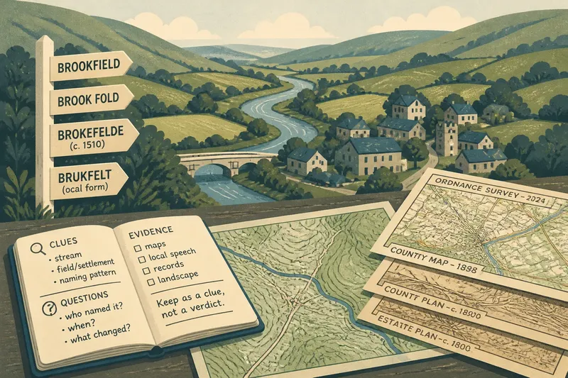
A river name can help identify a broad area, but names may cover long stretches or change between tributaries and main channels. Pair the name with nearby settlements and crossings to narrow your position.
What if the map shows a boundary beside the river?
Check the legend to distinguish the boundary symbol from the watercourse, then inspect a more detailed official map if the exact line matters. Their close alignment on a general map is a clue to investigate, not proof that the river defines the boundary.
Build a simple river-based orientation routine
You do not need a complicated method. Use a few observations in a steady order, and stop when the surrounding features agree:
- Find the broad course. Identify where the river enters and leaves the map area, or which larger waterway it joins.
- Choose a recognisable bend. Prefer a clear turn or loop over a long, nearly straight stretch.
- Locate a crossing or confluence. Use a bridge, tributary junction or mapped settlement to fix a point along the channel.
- Compare both banks. Note roads, villages, slopes and land uses on each side rather than treating the water as a blank divider.
- Separate water from boundaries. Check line styles and labels before describing the river as an administrative edge.
- Widen the view if clues conflict. A regional view can reveal how a local stream fits into the larger network.
Say you are looking for a market town shown near a river but cannot tell which bend it occupies. First match the river’s junction with a named tributary; then find the road bridge and the town label relative to it. If those landmarks line up, you have a stronger orientation than the river name alone provides.
Let the river orient you, then verify the place
Rivers make useful regional reference lines because they are continuous, visible features with bends, crossings and tributaries that can be matched against a map. Their value is greatest when you treat them as part of a network of clues, not as a ready-made border or an all-purpose label.
For a quick regional check, start with the channel, anchor it to a crossing or junction, and then read the nearby roads and place names. The river can tell you where to look next; the other mapped features tell you what that place is.